
Reviewed · HIKING & TREKKING
Cali: Pico de Loro Trekking Adventure – Farallones de Cali
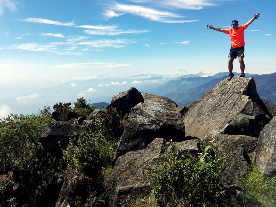
Pico de Loro is not a gentle stroll in the woods. It is a serious 9-kilometer climb through Farallones de Cali, rising from 1,600 to 2,860 meters. The final 1.5 kilometers are especially tough, but the reward is a proper mountain challenge with broad views and thick jungle around you. I like the small group of no more than seven and the planned pauses for acclimatization and nature interpretation. I also like that the entry fee, insurance, and visit to El Topacio are included. The main catch is simple: this is for fit, experienced hikers, not casual walkers.
If Julián is your guide, expect patient pacing and clear explanations. One account describes him as attentive to each person’s walking ability, which matters on steep ground. The other key consideration is logistics: you must reach the meeting point yourself, and the tour operates only Monday through Friday.
Key points to know before you book
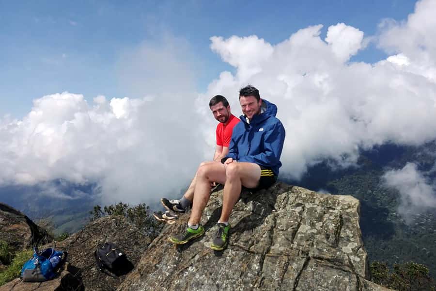
- 9 kilometers in total: You hike 4.5 kilometers up and 4.5 kilometers back down.
- 2,860-meter summit: The trail begins at 1,600 meters, so both exertion and changing conditions matter.
- Steep sections: Some parts rise at angles between 45 and 75 degrees.
- Spanish-speaking support: The local and hiking guides operate in Spanish.
- Small group format: The group is limited to seven participants.
- Weekday-only schedule: This experience runs from Monday through Friday, with no transport included.
A real mountain day in Farallones de Cali
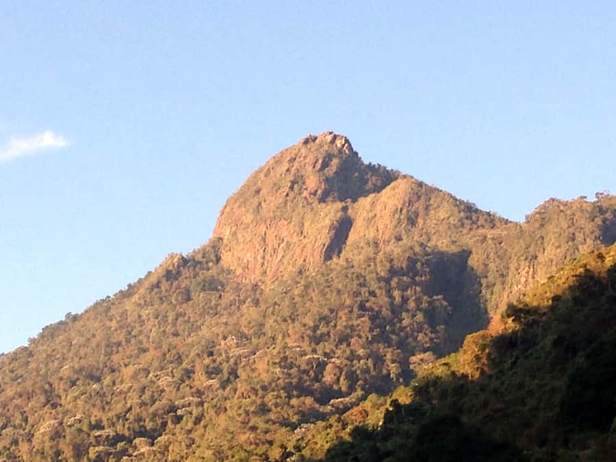
The appeal of Pico de Loro is that it gives you a direct encounter with one of Colombia’s oldest protected areas without turning the outing into a sightseeing bus ride. You walk into a protected zone with thick jungle, changing temperatures, mountain water, and a remarkable range of habitats.
Farallones de Cali National Natural Park contains four ecosystems and four thermal zones. That variety helps explain why the area supports about 540 bird species, including species found nowhere else and others considered at risk. You may not spot a rare bird on your particular morning, so do not book this as a guaranteed wildlife tour. Book it for the chance to move through a biologically important mountain area under the guidance of someone who can explain what you are seeing.
The route is 9 kilometers in all, but distance alone does not tell the story. The starting point is at 1,600 meters above sea level, and the high point reaches 2,860 meters. The trail’s steepest sections range from 45 to 75 degrees, making footing, balance, and stamina more important than raw speed.
This is why the tour takes about 10 hours. You are not simply walking uphill for five hours and turning around. The day includes short rests, acclimatization stops, and explanations about the environment. Those pauses are useful, especially when the path becomes steep or the thinner air starts to affect your pace.
A few more trips around Cali worth a look
- Cali: TRES CRUCES – Cali’s most popular hike and monument
★ 4.9 · 19 reviews - Cali: Hiking to the Pance waterfalls
★ 4.9 · 15 reviews - Tayrona Park Hike And Beach Day
★ 5.0 · 91 reviews
Starting at 1,600 meters and finding your rhythm
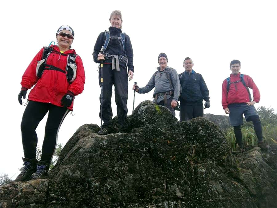
The early part of the outing gives you time to settle into the effort. Your guide can help set a practical pace, and the small group makes it easier to stop when needed rather than push everyone at the speed of the fastest person.
I like this format for a demanding hike. A group of seven is small enough for the guide to keep an eye on people, answer questions, and adjust the rhythm. It also means the experience should feel more focused than a large group outing, though Spanish is the stated tour language, so you should be comfortable receiving instructions and explanations in Spanish.
The trail moves through a protected natural area rather than a prepared urban park. Wear shoes with good grip, not smooth-soled sneakers. Long sleeves and long pants are recommended, partly for changing weather and partly because insect repellent is on the packing list for a reason.
You should also carry only what you need. A small backpack with water, snacks, rain protection, an extra layer, sunscreen, and insect repellent is more sensible than a heavy day pack. A hydration backpack and walking poles are optional, but both could be useful on this route.
El Topacio adds context before the hard work
The visit to the El Topacio environmental education center is included in the day. This is more than a quick add-on. It gives the hike a useful starting point by putting the protected area into context before you focus on reaching the summit.
The center helps connect the physical trail with the wider purpose of the reserve. Farallones de Cali protects several ecosystems, supports major water resources, and provides habitat for a large bird population. That information matters because the route is not just a mountain workout. You are walking through an area that has been set aside for conservation.
Keep your expectations measured. The supplied details do not promise a particular exhibit, animal sighting, or length of stop at El Topacio. Treat it as an environmental education visit included in the wider excursion, not as a separate museum tour.
The middle stretch tests your legs
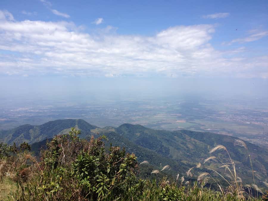
As the path climbs, the tour becomes less about scenery and more about managing effort. The combination of steep grades, uneven ground, and altitude can make the same distance feel much longer than it looks on a map.
This is where the guide’s pacing matters. Short stops are built into the experience for rest and acclimatization, and they also create natural moments to look around and listen to the environmental explanations. I would rather have those planned pauses than a rushed push to the top followed by exhaustion.
One practical warning: the outing does not get canceled simply because the weather turns bad. Bring a rain poncho or waterproof jacket, and protect anything important inside a waterproof bag or plastic liner. The rain gear is not optional decoration. If your phone, passport, spare clothes, or snacks get soaked, the return walk will feel much longer.
The weather can also affect the views. One account describes a very cloudy day but still calls the outing an incredible experience. That is a fair way to think about this hike. Clear conditions may give you the best mountain views, but clouds and rain are part of the setting, and the trail is not sold as a guaranteed panorama.
Same city, a different sort of day:
- Shared Tour Cali’s Historical Downtown
★ 4.8 · 143 reviews - Historical Shared Tour Salsa, Graffiti & Resistance in Cali
★ 5.0 · 107 reviews - The Cali Street Food Walking Tour
★ 5.0 · 81 reviews - San Cipriano Rainforest – River, Waterfalls and Adventure Day
★ 5.0 · 73 reviews
The final 1.5 kilometers are the real challenge
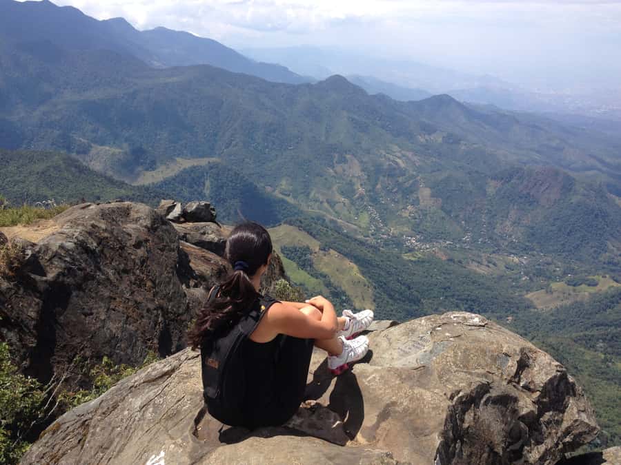
The last section deserves special attention. A participant described the final 1.5 kilometers as extremely hard but rewarding, and that is the most useful warning for anyone considering this tour.
By this point, you have already spent hours climbing. The steeper grades can make the final push feel slow, particularly if you are not used to mountain hiking. Do not judge your ability by how comfortable you feel near the trailhead. Save energy early, drink regularly, and use the rest stops instead of treating them as a sign that you are falling behind.
The target altitude is 2,860 meters. That is not an extreme high-altitude expedition, but it is high enough that exertion may feel different from a walk at low elevation. The tour’s pauses for acclimatization are valuable, but they do not remove the need for good fitness and sound health.
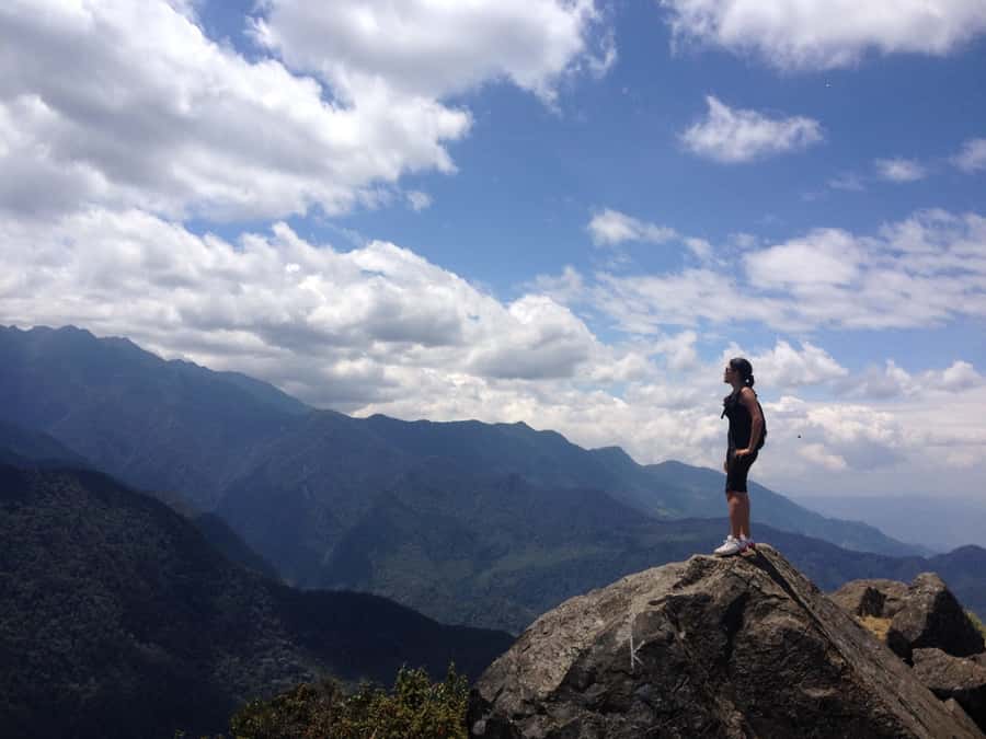
At the top, the satisfaction comes from having completed a demanding route rather than from a manufactured attraction. The views are a central part of the reward, though cloud cover may limit them. Even on a gray day, reaching the high point after the steep final stretch gives the day a clear sense of purpose.
The descent is not an afterthought
The return covers the same 4.5 kilometers, but downhill walking brings its own problems. Tired legs, loose footing, and steep drops can make the descent harder on your knees and ankles than expected.
Use shoes with firm grip and take your time. Walking poles may help if you already know how to use them. This is not the place to race downhill because you are eager to finish.
The 10-hour duration includes the full outing, including pauses and the return. You should not plan another strenuous activity afterward. A sensible evening plan is food, a shower, and rest. The next day is best kept flexible too, especially if you are not accustomed to long mountain hikes.
What the $49 price covers
At $49 per person, the price is reasonable if you want a guided, protected-area hike rather than an unsupported walk. The fee includes the entrance to the natural reserve, a local guide, an expert hiking guide, medical insurance and assistance, the El Topacio visit, and the Pico de Loro ascent.
That package is useful because entrance fees and basic activity insurance are already handled. The small group also gives the outing more personal attention than a mass tour, assuming the maximum of seven is reached or approached.
The value is less impressive if you need a full door-to-door service. Transport is not included, and neither pickup nor drop-off at your accommodation is part of the standard plan. You must get to the meeting point yourself, though you can ask the provider about arranging extra transport.
Food and other personal purchases are also your responsibility. Bring snacks, water, sun protection, and rain protection rather than expecting these items to appear during the day.
The booking terms are flexible. You can cancel up to 24 hours before departure for a full refund, and the reserve-now, pay-later option lets you keep your plans open. The practical limitation is the weekday schedule, since the tour is available only from Monday through Friday.
Who should book this hike?
I would recommend Pico de Loro to you if you already enjoy long hikes, can handle steep ground, and want a demanding day in a protected mountain area. It is especially suitable if you value nature interpretation and prefer a small Spanish-speaking group to a large excursion.
You should think twice if your idea of a nature outing is a flat trail with frequent facilities. This route involves steep sections, a long duration, changing weather, and a hard final stretch. It is not suitable for pregnant women, people with heart or respiratory problems, people with back problems, recent fractures, mobility impairments, or wheelchair users.
Good health is not a minor detail here. The provider specifically limits the activity to experienced hikers in good physical condition and optimal health. If you have any doubt about your ability to manage altitude, steep ground, or a 10-hour outing, choose a gentler activity instead.
What to pack for a wet, steep trail
Your packing list should be practical rather than large:
- Hiking boots or sports shoes with strong grip
- Comfortable cool sportswear, preferably long sleeves and pants
- Rain poncho or waterproof jacket
- Extra clothes in a waterproof bag
- Water and snacks
- Sunscreen, sunglasses, and a sun hat
- Insect repellent
- Towel and sandals
- Swimwear, if you prefer to carry it as part of the requested packing list
- Passport or ID card
The towel, sandals, and swimwear are included in the suggested list, though the activity details do not specify a swimming stop. Pack them only if you want to follow the full recommendation without assuming they will be used.
Should you book Pico de Loro?
Book this tour if you want a serious day hike near Cali, appreciate protected nature, and are ready for a hard final climb. The strongest reasons to go are the small group, the included reserve entry and insurance, the environmental visit, and the chance to reach 2,860 meters with mountain views.
Skip it if you need transport included, speak no Spanish, dislike wet-weather plans, or have limited hiking experience. Pico de Loro rewards preparation, not optimism. Bring grippy shoes, waterproof storage, enough food and water, and a realistic attitude toward the final 1.5 kilometers. If that sounds like your kind of challenge, $49 is a fair price for the support and access included.
FAQ
How long does the Pico de Loro hike take?
The activity lasts about 10 hours, including the ascent, descent, short breaks, acclimatization stops, and environmental interpretation.
How far do you hike?
The total distance is 9 kilometers, with 4.5 kilometers going up and 4.5 kilometers returning.
How high does Pico de Loro reach?
The trail starts at 1,600 meters above sea level and reaches a final altitude of 2,860 meters.
Is transportation included?
No. You must reach the meeting point yourself. Pickup and drop-off at your accommodation are not included, though additional transport may be available by contacting the provider.
What language is the tour conducted in?
The local guide and expert hiking guide speak Spanish, and the live tour guide language is Spanish.
Is the hike suitable for beginners?
The activity is intended for experienced hikers in good physical condition. Steep sections range from 45 to 75 degrees, and the final 1.5 kilometers are particularly demanding.
What happens if it rains?
The tour is not canceled because of bad weather. Bring waterproof rain gear and use a waterproof or plastic bag to protect the items in your backpack.
Just added in Cali
- Cali: TRES CRUCES – Cali’s most popular hike and monument★ 4.9 · 19 reviews
- Cali: Walking tour of the historic center★ 4.9 · 18 reviews
- Cali: Two hours walking Cali City discovery tour★ 5.0 · 3 reviews
- From Cali: Whale Watching Day Trip in Buenaventura★ 4.6 · 3 reviews
- Cali: Tour of Waterfall in Pance River – Chorrera del Indio★ 4.9 · 34 reviews
- Cali: Three hours walking Cali City discovery tour★ 4.7 · 3 reviews
- Cali: Fruit Market Walking Tour with Tastings★ 4.6 · 7 reviews
- Cali: Hummingbird Watching & Photography Tour★ 5.0 · 7 reviews
Hiking & Trekking, compared.
Private tour: hiking to the crystalline MELCOCHO river from MEDELLÍN
Read our review →
Salento/Pereira: Cocora Valley & Salento Hiking Private Tour
Read our review →
Guided Hiking through Tayrona National Park and Cabo San Juan
Read our review →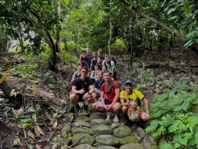
Trekking History and Indigenous Heritage in Minca + Cacao & Coffee + Waterfall
Read our review →
Browse the lists this tour appears in